Description
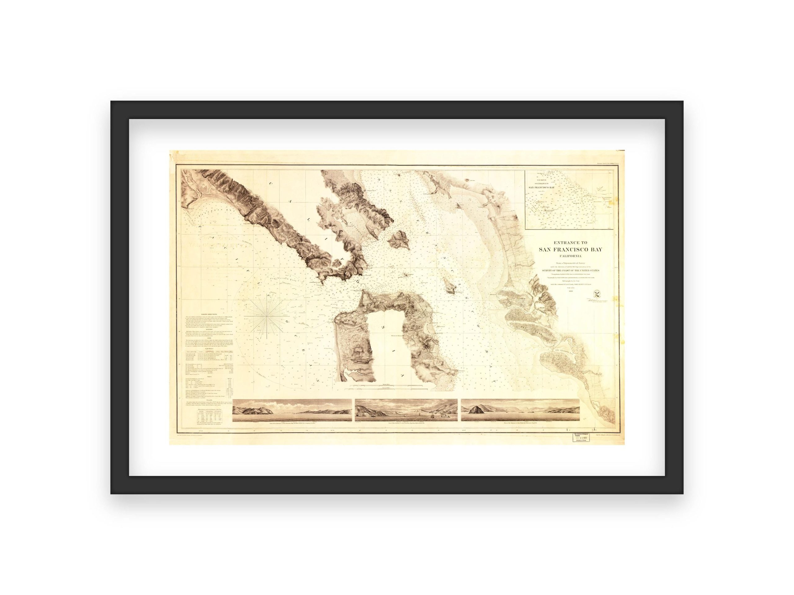
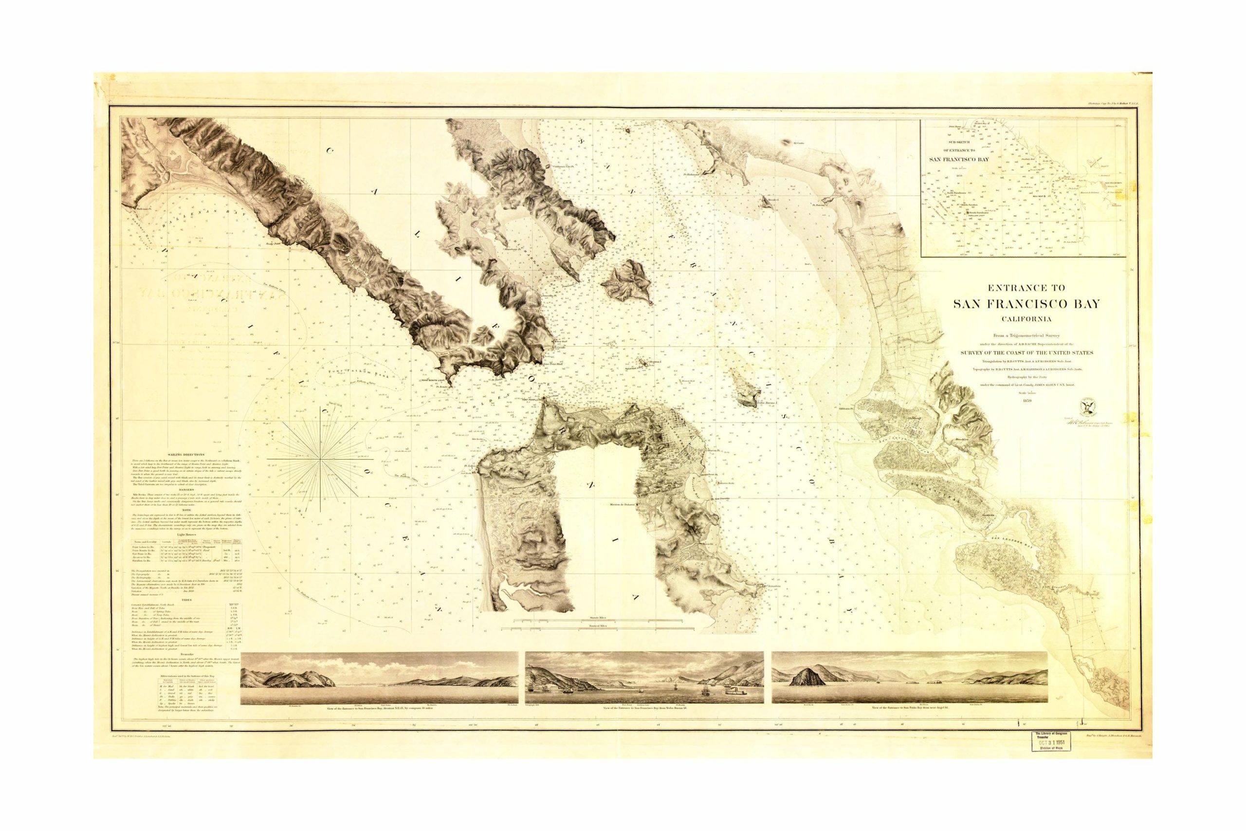
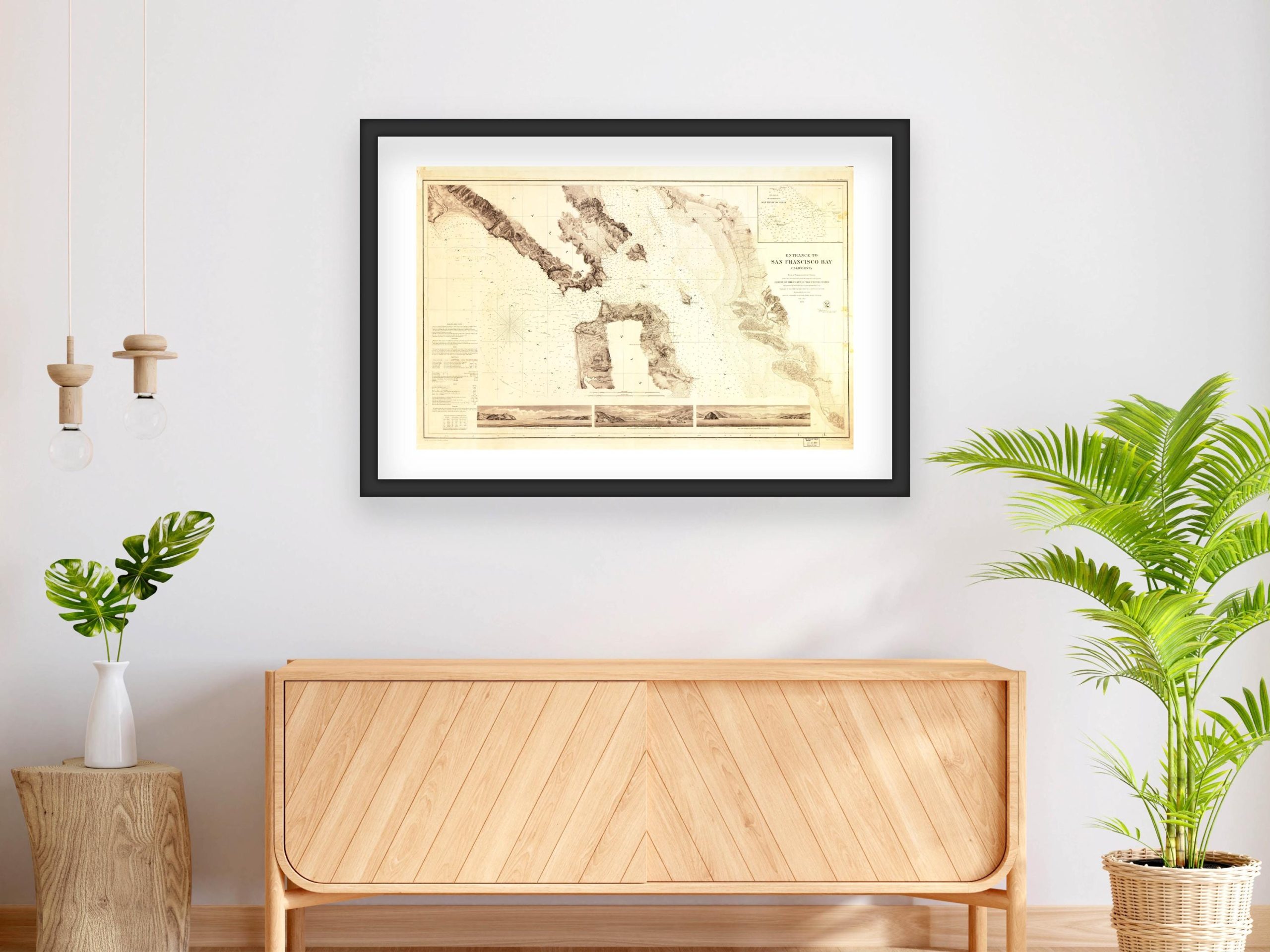
Entrance to San Francisco Bay, California – 1856 Coastal Survey
This 1856 nautical chart of the entrance to San Francisco Bay, California, offers detailed topographical and hydrographical features critical to maritime navigation. Commissioned by the U.S. Coast Survey, this map highlights the rugged coastline, underwater soundings, and sailing routes vital for safe passage through one of the busiest maritime gateways on the Pacific coast. The chart also includes land-based views of the surrounding coastal terrain, providing a comprehensive reference for sailors and historians alike. This map is a valuable resource for those interested in maritime history, cartography, and the development of coastal infrastructure during the 19th century.
I personally digitally restore and clean up the original scanned image, adjusting colors, exposure, and fixing blemishes to produce a high-quality print. However, to maintain the vintage poster look and historical accuracy, I retain some imperfections.
What Makes My Prints Different
Sure, you might find similar images elsewhere, but not all prints are equal. I use a high-end lab with professional photo printers, high-quality archival inks, and acid-free archival Lustre paper—a premium, heavier paper offering vibrant colors with a fingerprint-resistant, glare-free matte finish. Prints are available in all popular sizes; select your size when ordering. Please note that listing photos are low resolution, but high-resolution files are used for printing. Prints are unframed; frames shown are for illustration purposes only.
Shipping
Prints are carefully packaged to prevent damage during transit. They are shipped flat in a rigid box or rolled in a sturdy mailing tube, depending on size. Please refer to the shop’s policies for additional shipping information.

 by
by 


 3 sold in last 11 hours
Reviews
There are no reviews yet.