Description
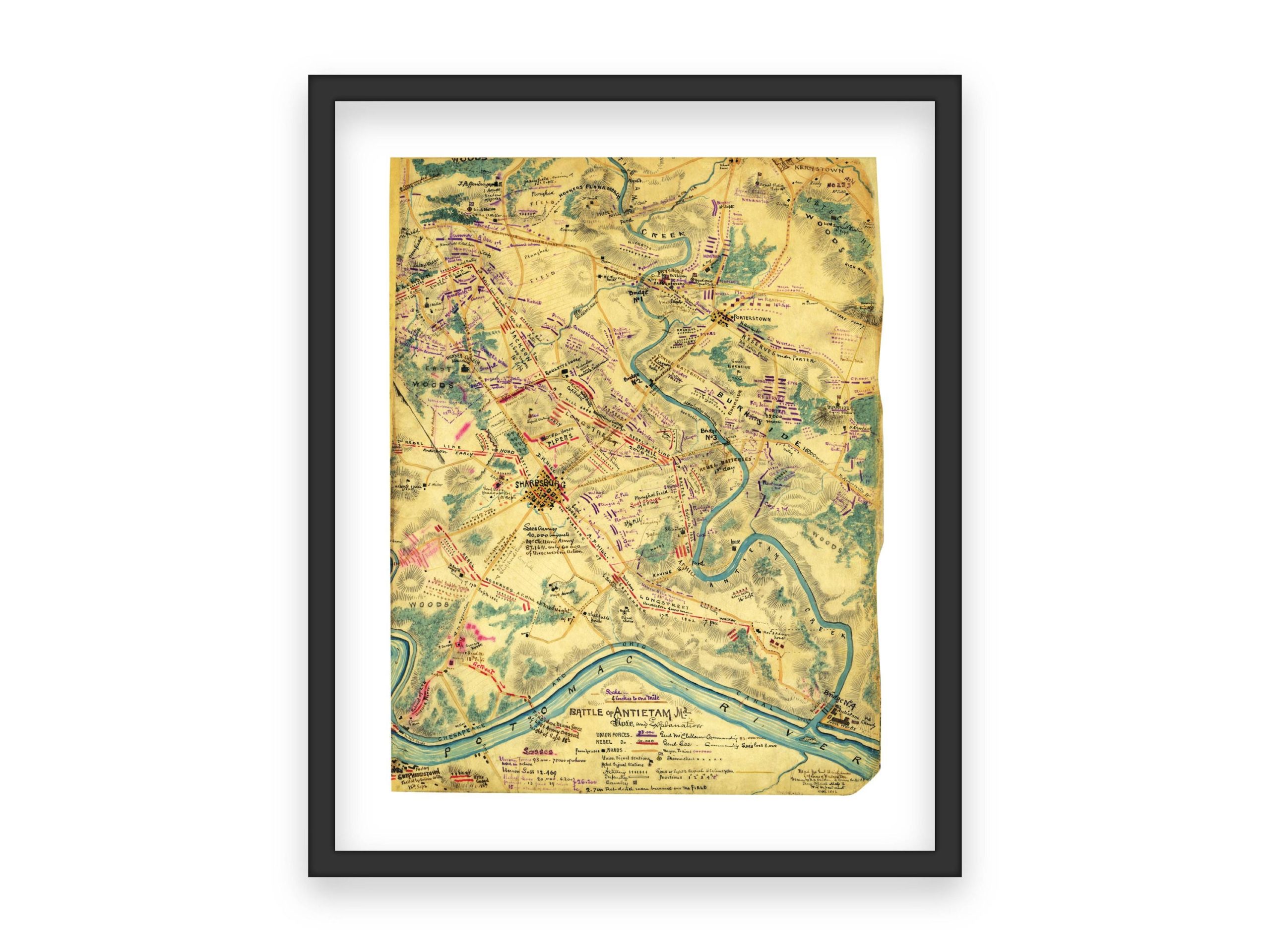
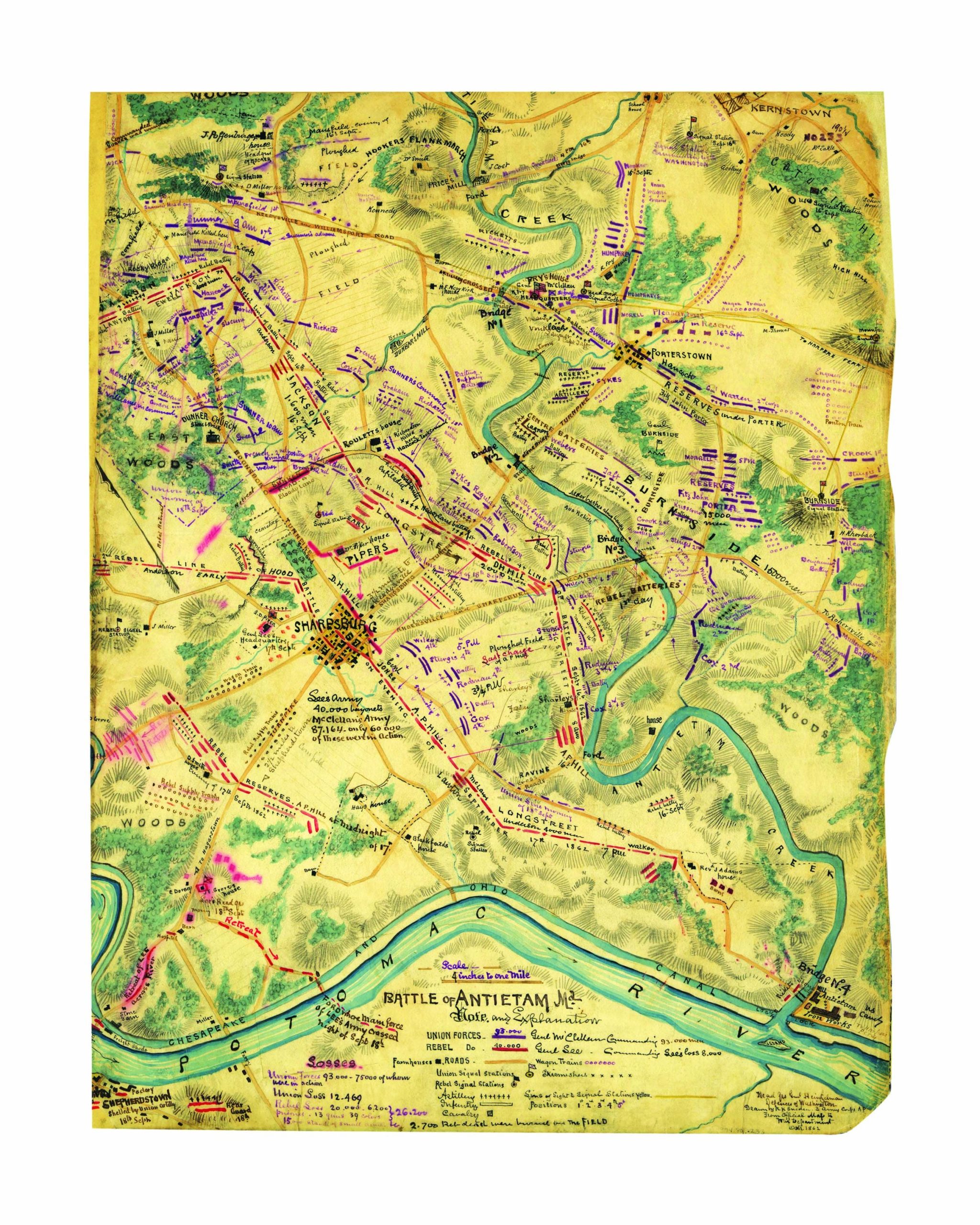
Battle of Antietam Map – September 17, 1862
This historically significant map illustrates the positions and movements of Union and Confederate forces during the Battle of Antietam, the bloodiest single-day battle in American history. The map showcases troop formations, strategic positions, and geographic features, including the Potomac River and nearby towns, providing a detailed overview of the battlefield. With intricate color-coded markings, this map is an essential reference for Civil War enthusiasts, historians, and collectors.
I personally digitally restore and clean up the original scanned image, adjusting colors, exposure, and fixing blemishes to produce a high-quality print. However, to maintain the vintage look and historical accuracy, I retain some imperfections.
What Makes My Prints Different
Sure, you might find similar prints elsewhere, but not all prints are equal. I use a high-end lab with professional photo printers, high-quality archival inks, and acid-free archival Lustre paper—a premium, heavier paper offering vibrant colors with a fingerprint-resistant, glare-free matte finish. Prints are available in all popular sizes; select your size when ordering. Please note that listing photos are low resolution, but high-resolution files are used for printing. Prints are unframed; frames shown are for illustration purposes only.
Shipping
Prints are carefully packaged to prevent damage during transit. They are shipped flat in a rigid box or rolled in a sturdy mailing tube, depending on size. Please refer to the shop’s policies for additional shipping information.


 5 sold in last 10 hours
Reviews
There are no reviews yet.