Description
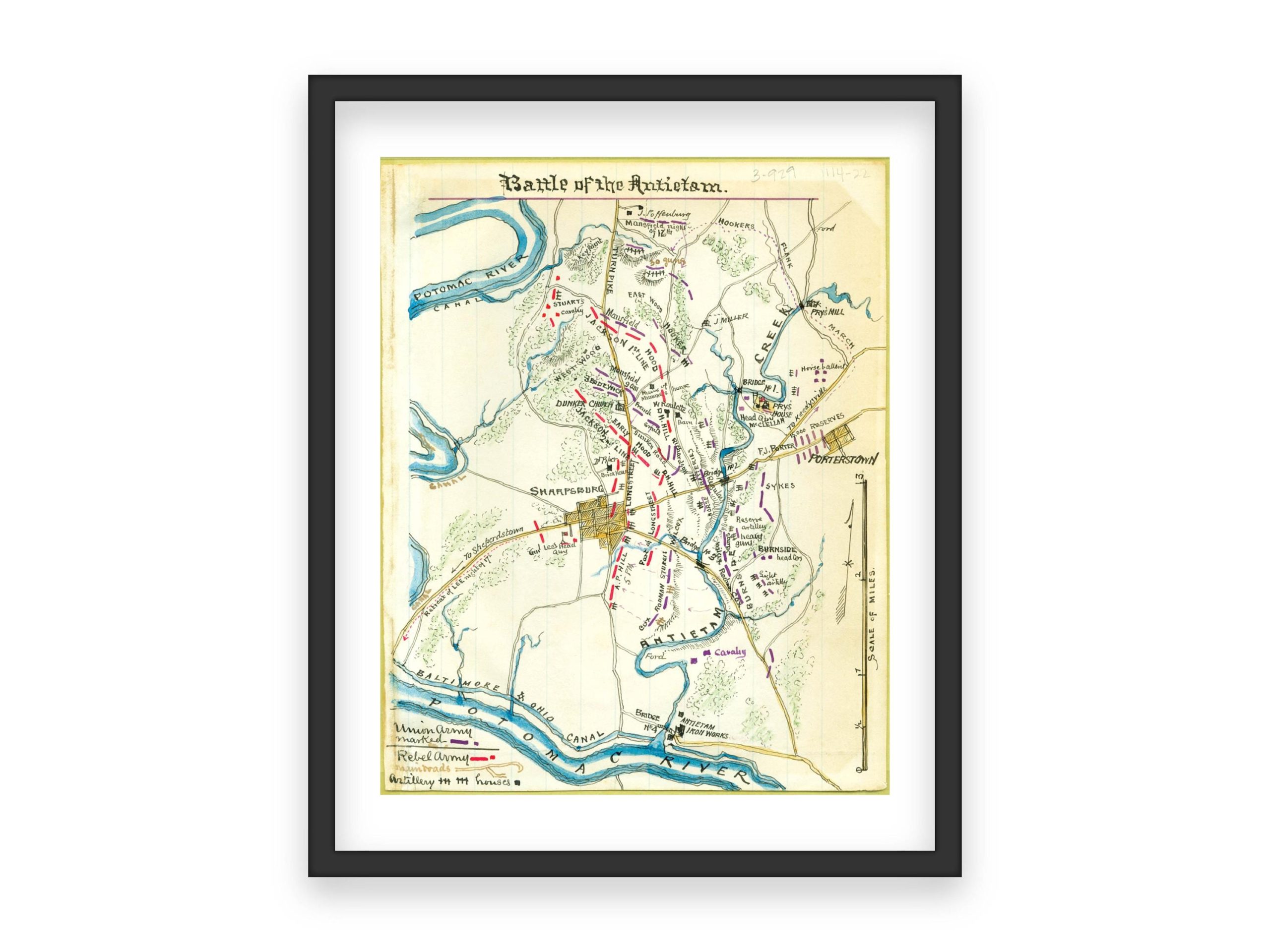
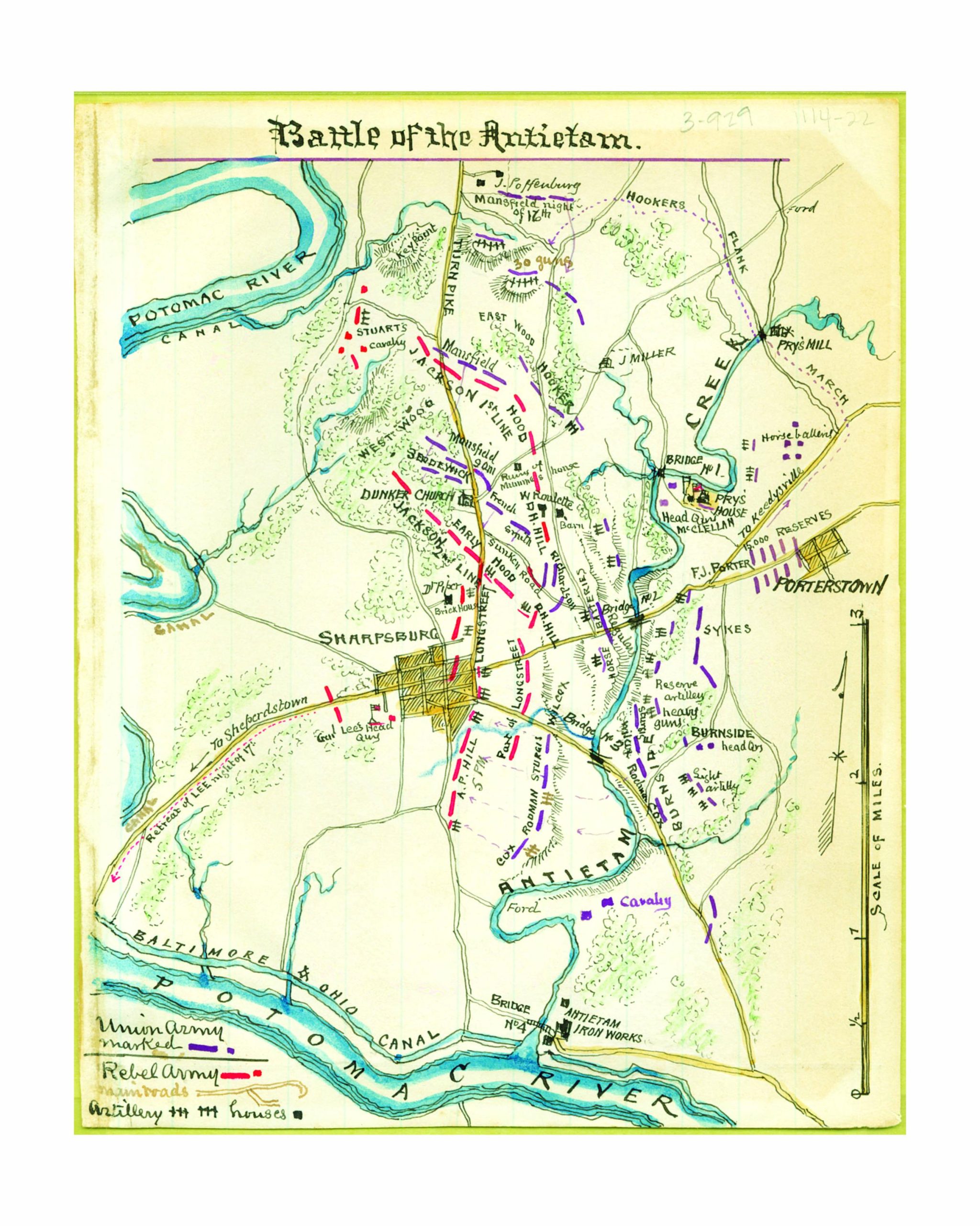
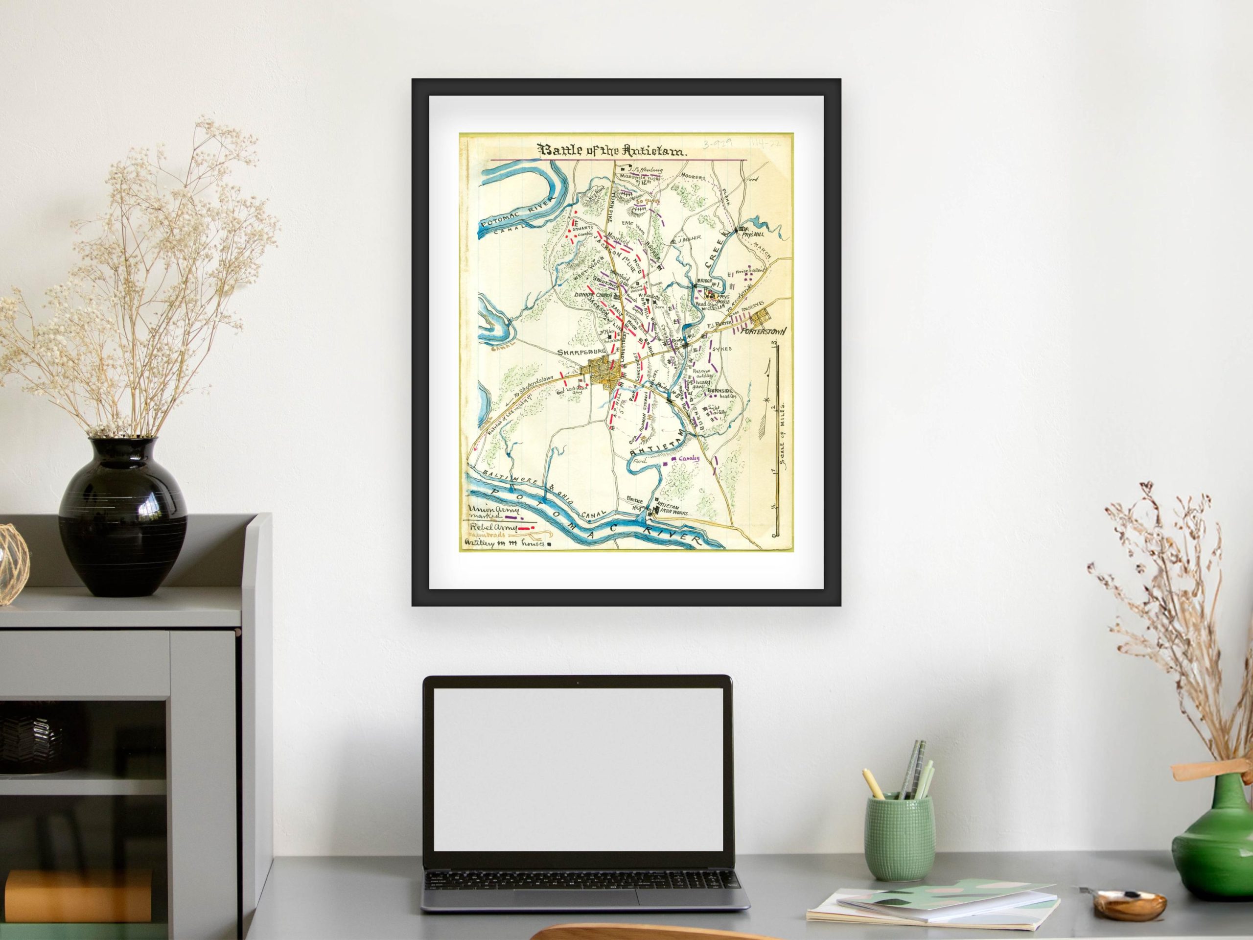
1862 Battle of Antietam Civil War Map
This historic map of the Battle of Antietam offers a detailed view of one of the most significant battles of the American Civil War, fought on September 17, 1862. The map showcases troop movements, key locations such as Sharpsburg and the Antietam Creek, and strategic points along the Potomac River. With Union and Confederate armies color-coded for clarity, this map vividly depicts the intense and critical moments of the bloodiest single-day battle in American history.
This map is a significant piece for Civil War historians, battle enthusiasts, and collectors interested in military history, providing a visual guide to the strategies that shaped the course of the war.
I personally digitally restore and clean up the original scanned image, adjusting colors, exposure, and fixing blemishes to produce a high-quality print. However, to maintain the vintage look and historical accuracy, I retain some imperfections.
What Makes My Prints Different
Sure, you might find similar prints elsewhere, but not all prints are equal. I use a high-end lab with professional photo printers, high-quality archival inks, and acid-free archival Lustre paper—a premium, heavier paper offering vibrant colors with a fingerprint-resistant, glare-free matte finish. Prints are available in all popular sizes; select your size when ordering. Please note that listing photos are low resolution, but high-resolution files are used for printing. Prints are unframed; frames shown are for illustration purposes only.
Shipping
Prints are carefully packaged to prevent damage during transit. They are shipped flat in a rigid box or rolled in a sturdy mailing tube, depending on size. Please refer to the shop’s policies for additional shipping information.


 2 sold in last 12 hours
Reviews
There are no reviews yet.