Skip to main content
Skip to main menu
Mobile Menu
CupOart.com
Search for:
Search
0
Cart
Search for:
Search
Home
Store
Top Categories
Aviation Pictures
Logos
Lighthouses
Posters
Nautical
All Products
Products
Prints
T-Shirts
Hoodies
Other Pages
FAQ
Testimonials
VINTAGE ART
Thousands of Products
Shop Now
All Products
Aviation
Blueprints
Buildings
Lighthouses
Nautical, Boats & Ships
Hoodies
T-Shirts
Posters
Patents
Space Travel
Vintage Logos
Old Maps
FAQ
About Us
Contact Us
CupOart.com
Close Mobile Menu
Search for:
Search
Home
Store
Products
Aviation Photography
Blueprints – Misc.
Buildings – Historic
Lighthouses
Nautical, Boats & Ships
Old Logo Hoodies
Old Logo T-Shirts
Old Posters
Patents
Space Travel
Vintage Logos
Vintage Maps
FAQ
Contact Us
Help Center
Facebook
Intsagram
Pinterest
Close Filter Toggle
Show:
selected='selected'
Posts Per Page
12
24
48
96
192
384
All
Default sorting
Sort by popularity
Sort by average rating
Sort by latest
Sort by price: low to high
Sort by price: high to low
Filter
Select Options
Select Options
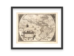
16th Century Americae Sive Novi Orbis Map – Vintage Exploration Era World Map, Historic Western Hemisphere Chart, Reproduction Print
$
32.95
–
$
129.95
Select Options
Select Options
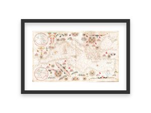
16th Century European Coastal Portolan Chart – Early Nautical Map, Historic Sea Routes, Mediterranean and Atlantic Navigation Chart
$
34.95
–
$
159.95
Select Options
Select Options
16th Century European Coastal Portolan Chart – Early Nautical Map, Historic Sea Routes, Mediterranean and Atlantic Navigation Chart
$
34.95
–
$
159.95
Select Options
Select Options
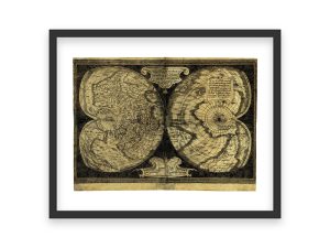
16th Century Gerardus Mercator Double Hemisphere Map – Antique World Map, Vintage Exploration Era Chart, Historic Reproduction Print
$
32.95
–
$
129.95
Select Options
Select Options
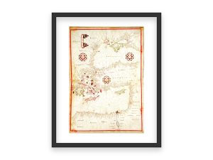
16th Century Mediterranean and Black Sea Nautical Map – Historic Portolan Chart, Vintage Maritime Navigation, Antique Sea Routes Map
$
32.95
–
$
129.95
Select Options
Select Options
16th Century Nautical Portolan Chart – Mediterranean and European Coastlines, Early Maritime Navigation, Compass Rose, and Sea Routes Map
$
32.95
–
$
129.95
Select Options
Select Options
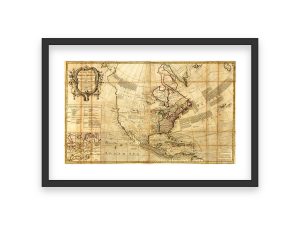
1722 New Map of North America – Vintage Colonial Era Map, Historic Western Hemisphere Chart, Exploration Territories, Reproduction Print
$
32.95
–
$
129.95
Select Options
Select Options
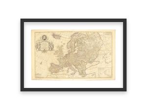
1740 Map of Europe – Queen Caroline Tribute Map, Detailed European Countries, Historic Geography and Borders, Royal Cartographic Design
$
34.95
–
$
159.95
Select Options
Select Options
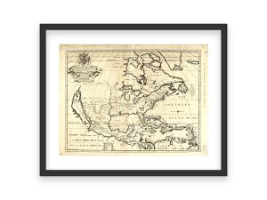
1774 North America and West Indies Map – British Colonies, Spanish Dominions, and French Territories, Detailed Pre-Revolutionary Cartography
$
34.95
–
$
159.95
Select Options
Select Options
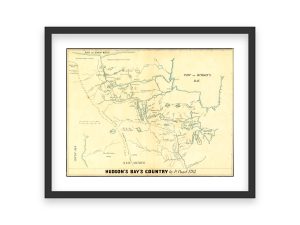
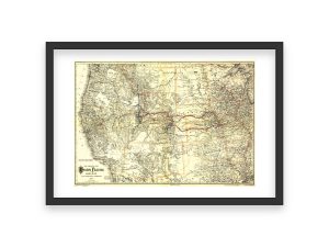
1785 Hudson’s Bay’s Country Map by Peter Pond – Historic Exploration Chart, Fur Trade Routes, Vintage Canada Map, Early North America Map
$
32.95
–
$
129.95
Select Options
Select Options
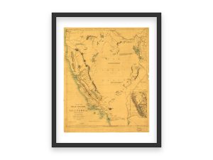
1850 Gold Regions of California – Historical Gold Rush Era Map, Great Basin, Western Territories, Early Mining Locations, History Gift
$
32.95
–
$
129.95
Select Options
Select Options
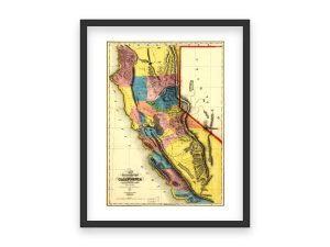
1851 Gold Region Map of California – Early Gold Rush Discovery, Western Territories, Historic Mining Districts, California Geography
$
32.95
–
$
129.95
Select Options
Select Options
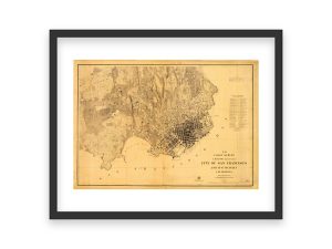
1857 San Francisco Map – Historic U.S. Coast Survey, Vintage California City Plan, Early Bay Area Map, Old San Francisco Layout Print
$
32.95
–
$
129.95
Select Options
Select Options
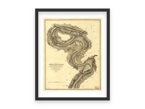
1864 Mississippi River Map – Civil War Era, Grand Gulf to Rodney, Detailed Survey by the U.S. Coast Survey for Military Operations
$
34.95
–
$
159.95
Select Options
Select Options
1864 Mississippi River Map – Civil War Era, Grand Gulf to Rodney, Detailed Survey by the U.S. Coast Survey for Military Operations
$
32.95
–
$
129.95
Select Options
Select Options
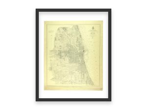
1872 Chicago Vintage City Map – Historic Post-Great Fire Chicago Layout, Vintage Urban Development Chart, Chicago Map Reproduction Print
$
32.95
–
$
129.95
Select Options
Select Options
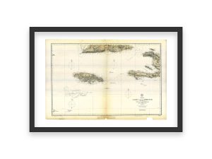
1882 Jamaica and Surrounding Islands Map – Pedro Bank, Cuba, San Domingo, Detailed Maritime Navigation Chart of the West Indies
$
34.95
–
$
159.95
Select Options
Select Options
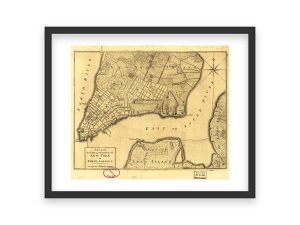
18th Century Map of New York City and Environs – Historic Urban Development, Early Manhattan Layout, Long Island and New Jersey Coastal Area
$
32.95
–
$
129.95
Select Options
Select Options
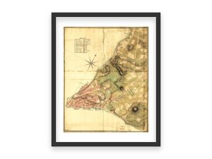
18th Century Map of New York’s Northern Suburbs – Historic Survey, Detailed Landscape, Early American Urban and Agricultural Development
$
32.95
–
$
129.95
Select Options
Select Options
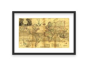
18th Century Map of the Whole World – Historic Global Map, Geographic Boundaries, Early Cartography, Old World and New World Exploration
$
34.95
–
$
159.95
Select Options
Select Options
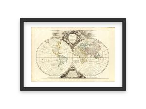
18th Century Orbis Vetus Map – Vintage World Map, Historic Double Hemisphere Chart, Early Global Geography, Reproduction Print
$
34.95
–
$
159.95
Select Options
Select Options
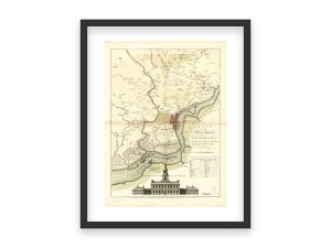
18th Century Philadelphia Map with Independence Hall Illustration – Early American City Planning and Colonial Era Landmarks
$
32.95
–
$
129.95
Select Options
Select Options
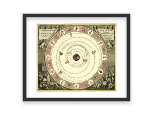
18th Century Planisphaerium Celestial Map – Vintage Solar System Chart, Historic Astronomy Map, Geocentric Model, Classic Scientific Art
$
32.95
–
$
129.95
Select Options
Select Options
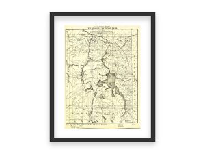
1900 Yellowstone National Park Tourist Routes Map – Historic Park Map, Detailed Trails, Lakes, Geothermal Features , First National Park
$
32.95
–
$
129.95
Select Options
Select Options
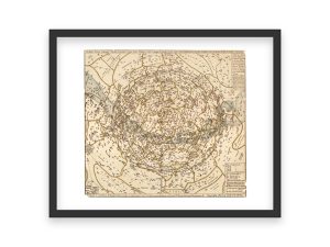
1909 Star Map of Northern Latitudes – Vintage Celestial Chart, Astronomical Constellation Map, Historic Sky Map Reproduction Print
$
32.95
–
$
129.95
1
2
→
Goto Top
Share
Close


