Unveiling the Union Pacific’s Overland Route: The Map That Connected a Nation’s Dreams

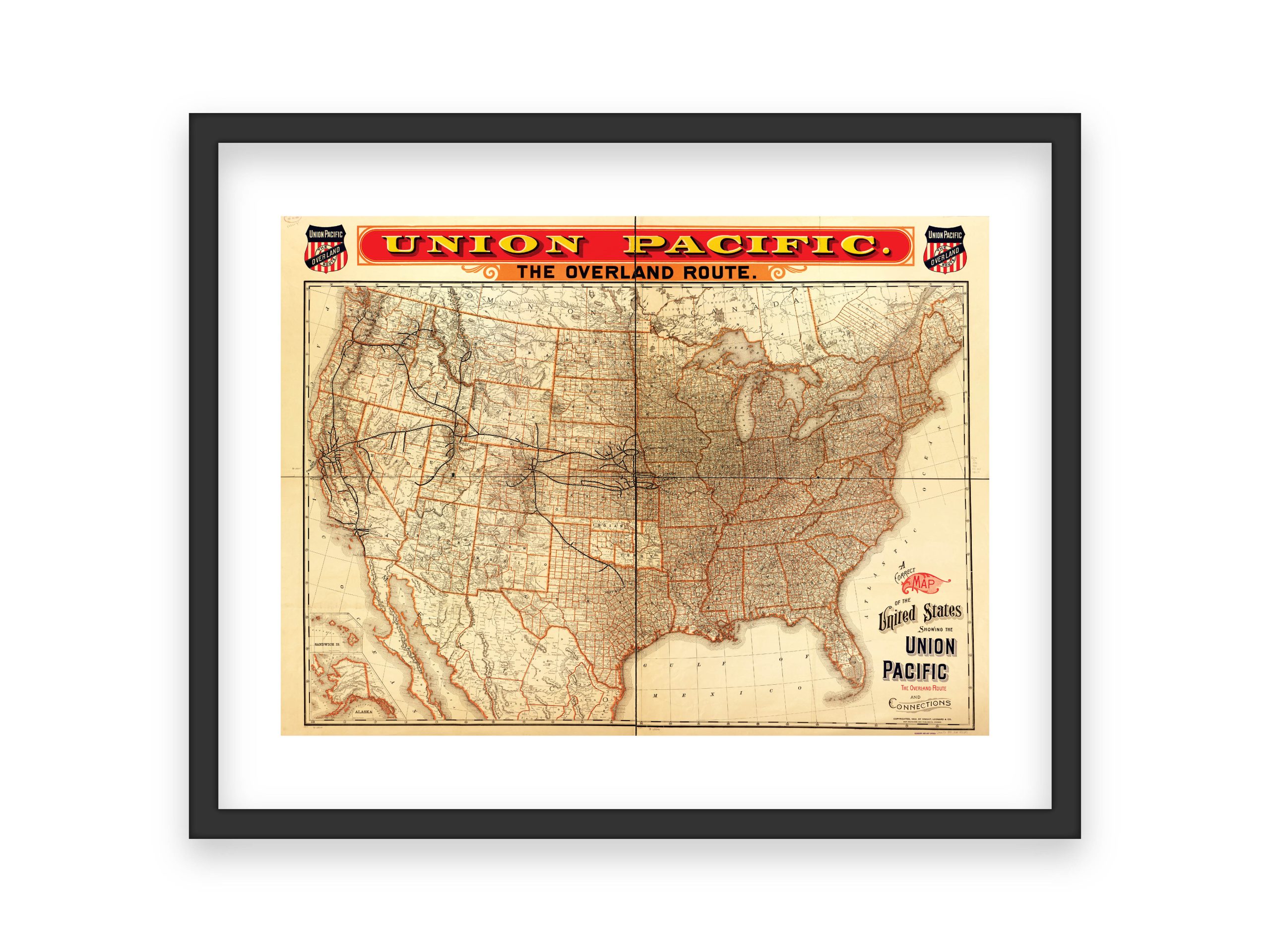
This remarkable 19th-century map of the Union Pacific’s “Overland Route” is far more than a historical artifact—it’s a vivid snapshot of a nation on the move. At a time when America yearned to bridge its vast expanse, this intricate cartographic marvel charted a path to new frontiers, inviting travelers, dreamers, and entrepreneurs to embark on journeys filled with promise and possibility.
The Overland Vision
In the wake of the Civil War, America’s westward ambitions intensified, and railroads became the arteries pumping life into distant territories. The Union Pacific’s Overland Route was a cornerstone of this grand endeavor, laying down steel tracks that turned weeks-long wagon treks into comparatively swift and comfortable journeys. As people moved faster and further, the country’s identity stretched to encompass newly accessible lands and cultures.
Charting a New Path
This map not only displayed routes and stations—it conveyed the idea that the American continent could be tamed, measured, and connected. By offering a detailed view of towns, topographies, and resources, it helped prospective settlers and adventurers visualize where they might seek opportunity. The lines that crisscrossed the parchment promised more than transportation; they promised new livelihoods and fresh starts.
Cultural and Economic Impact
The Overland Route wasn’t just about practical logistics—it transformed commerce, communication, and community building. Goods and ideas now traveled alongside passengers, linking distant states with threads of commerce that knit them into an interdependent whole. Over time, the map’s carefully traced lines would give rise to bustling hubs, where the exchange of goods and stories became the norm, forging a more cohesive national narrative.
Did You Know?
- Before the transcontinental railroad, traveling from the East Coast to the West Coast could take months by wagon, risking harsh weather and uncertain terrain.
- The creation of the Overland Route influenced everything from where towns sprang up to how businesses allocated their resources, shaping the economic geography of the United States.
- Maps like this one were often prized possessions, displayed prominently in homes and offices as symbols of optimism and progress.
As we look back on this historic map today, its legacy lives on in the infrastructure, communities, and shared sense of purpose it helped create. Each line drawn represented a vision of unity and ambition—concepts that continue to guide us as we seek new horizons in an ever-changing world.

