Charting the Globe: An 18th-Century Map’s Role in Trade and Exploration

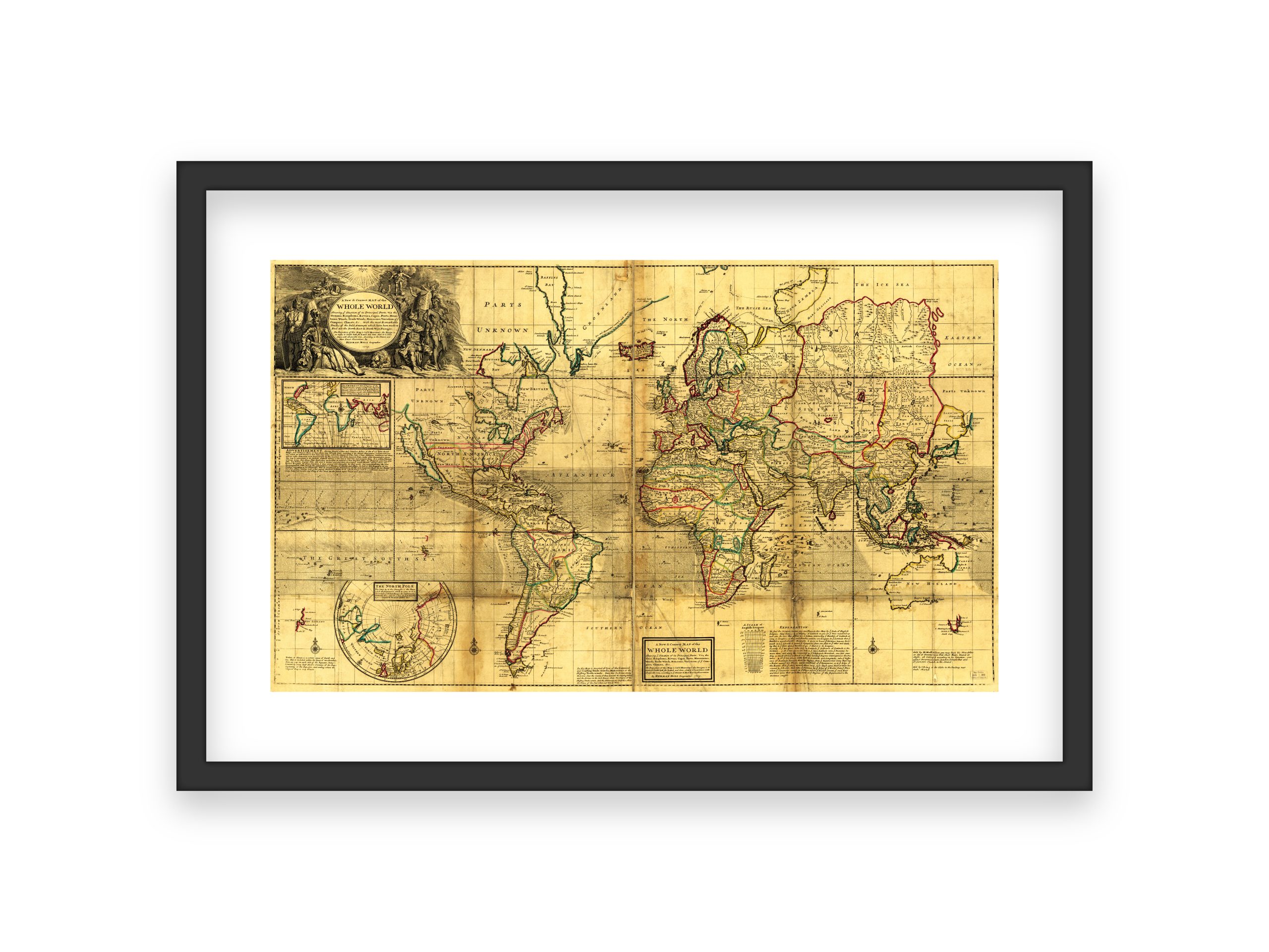
This 18th-century world map reflects a critical stage in the development of global navigation and commerce. During this period, European powers were expanding their colonies and trading routes, and maps like this one provided essential geographic data for merchants, sailors, and government officials. They consolidated information gathered from explorers, naval expeditions, and trading vessels, transforming scattered observations into a coherent visual guide.
Advances in Cartography
By the mid-to-late 1700s, cartographers had improved their craft through better instruments and more reliable measurements of latitude and, increasingly, longitude. Techniques like copperplate engraving and hand-coloring allowed for greater precision and clarity. Political boundaries, navigable rivers, known coastlines, and significant ports were carefully recorded. These details helped sea captains plot safer courses, merchants plan trade routes, and officials make informed decisions about territorial claims.
Supporting Global Trade Networks
The accuracy of these maps significantly influenced the efficiency of global trade. As nations sent out more merchant fleets, mapmakers incorporated updated information from returned voyages to refine coastlines and correct earlier errors. Over time, their work reduced navigational hazards and supported the growing intercontinental exchange of goods, resources, and knowledge.
Foundations for Further Accuracy
Despite improvements, many inland regions remained incomplete or speculative, and some coastal outlines were still approximate. However, each revised edition brought the world’s geography into sharper focus. By the end of the 18th century, more consistent data collection and the adoption of tools like the marine chronometer led to even greater precision, laying the groundwork for the cartographic accuracy we take for granted today.
Did You Know?
- 18th-century maps often featured cartouches and decorative motifs that identified the publisher and impressed potential buyers or patrons.
- Cartographers relied heavily on ship logs, astronomical observations, and coastal surveys provided by explorers and naval officers.
- As maps improved, they directly contributed to safer, faster, and more profitable voyages, supporting economic expansion and international competition.
This 18th-century world map remains a valuable historical record, illustrating how evolving geographic knowledge supported exploration, trade, and the formation of the modern global economy.
-
 Carte Réduite du Globe Terrestre – 18th Century World Map, Historic Global Exploration Chart, Vintage French Cartography, Reproduction
 -
 18th Century Map of the Whole World – Historic Global Map, Geographic Boundaries, Early Cartography, Old World and New World Exploration
 -
 18th Century Orbis Vetus Map – Vintage World Map, Historic Double Hemisphere Chart, Early Global Geography, Reproduction Print
