Description
18th Century Map of New York’s Northern Suburbs
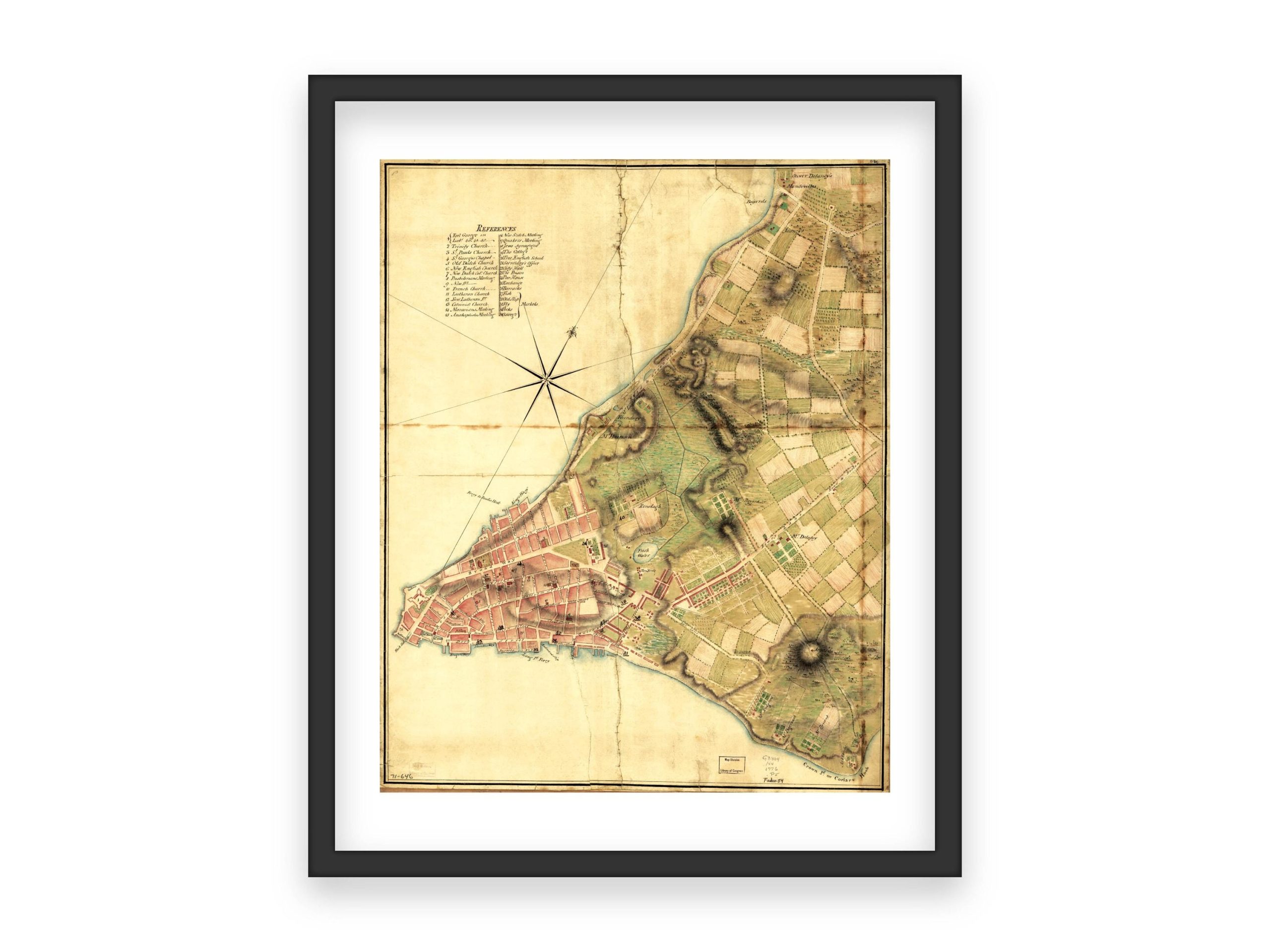
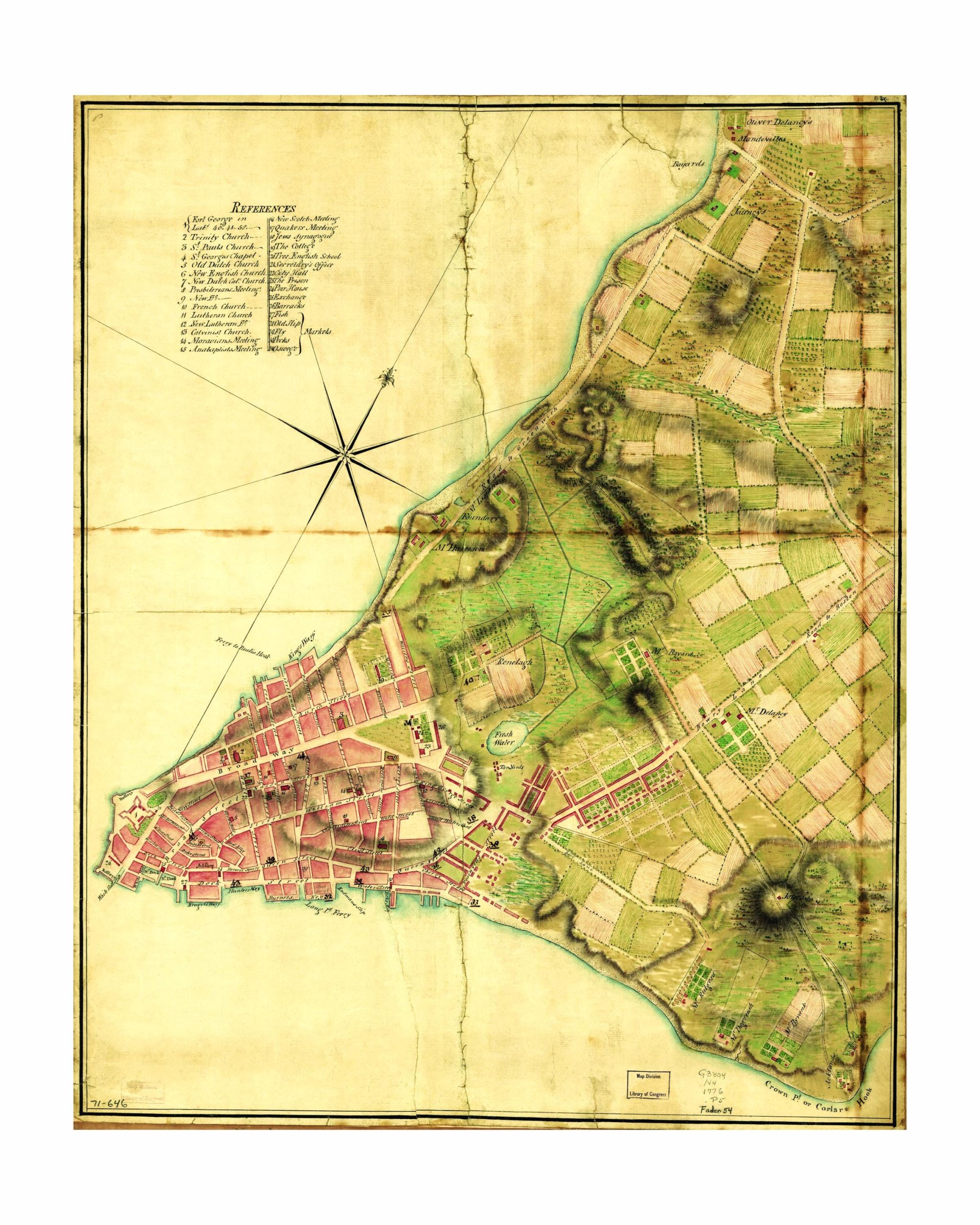
This detailed 18th-century map provides a fascinating look at the northern suburbs of New York, highlighting both urban and agricultural development during this period. Featuring precise street layouts, important landmarks, and rural farmlands, the map showcases the strategic growth of the area as the city expanded. The blend of detailed topography and early urban planning is beautifully captured, making this map not only a cartographic masterpiece but also a key resource for understanding New York’s historical transformation.
The map’s historical significance lies in its ability to illustrate the early planning of what would later become part of the greater New York metropolitan area, making it a perfect piece for collectors of urban history, early American maps, or anyone with an interest in New York’s past.
I personally digitally restore and clean up the original scanned image, adjusting colors, exposure, and fixing blemishes to produce a high-quality print. However, to maintain the vintage look and historical accuracy, I retain some imperfections.
What Makes My Prints Different
Sure, you might find similar prints elsewhere, but not all prints are equal. I use a high-end lab with professional photo printers, high-quality archival inks, and acid-free archival Lustre paper—a premium, heavier paper offering vibrant colors with a fingerprint-resistant, glare-free matte finish. Prints are available in all popular sizes; select your size when ordering. Please note that listing photos are low resolution, but high-resolution files are used for printing. Prints are unframed; frames shown are for illustration purposes only.
Shipping
Prints are carefully packaged to prevent damage during transit. They are shipped flat in a rigid box or rolled in a sturdy mailing tube, depending on size. Please refer to the shop’s policies for additional shipping information.




 1 sold in last 11 hours
Reviews
There are no reviews yet.